
Pick your town or rainfall zone, and optionally a goal, to see which plants in our Plant Database suit your conditions.
Zones on this site: wet is 80 or more inches of rain a year, moderate is 40–80, and dry is under 40. Ranges show typical mean annual rainfall within about 1 mile (1.5 km) of each census community’s center point, or within 0.6 mile (1 km) for smaller named areas, from the Rainfall Atlas of Hawaiʻi.
| Community | Zone | Rainfall | Confidence |
|---|---|---|---|
| Kekaha | Dry | about 18–21 in | High |
| Mānā | Dry | about 18–21 in | High Smaller area: within 1 km (0.6 mi) |
| Waimea | Dry | about 20–22 in | High |
| Kaumakani | Dry | about 21–24 in | High |
| Pākalā Village | Dry | about 20–24 in | High |
| ʻEleʻele | Dry | about 26–31 in | High |
| Hanapēpē | Dry | about 26–31 in | High |
| Numila | Dry | about 30–37 in | High Smaller area: within 1 km (0.6 mi) |
| Poʻipū | Dry–moderate | about 36–45 in | Medium Near the 40-inch line; check your spot |
| Keālia | Moderate | about 40–43 in | High Smaller area: within 1 km (0.6 mi) |
| Kukuiʻula | Dry–moderate | about 39–43 in | Medium Near the 40-inch line; check your spot. Smaller area: within 1 km (0.6 mi) |
| Hanamāʻulu | Dry–moderate | about 38–48 in | Medium Near the 40-inch line; check your spot |
| Līhuʻe | Moderate | about 40–48 in | Medium Large area (7.5 sq mi); rainfall varies across it |
| Waipouli | Moderate | about 42–45 in | High Smaller area: within 1 km (0.6 mi) |
| Nāwiliwili | Moderate | about 41–47 in | High Smaller area: within 1 km (0.6 mi) |
| Moloaʻa | Moderate | about 43–49 in | High Smaller area: within 1 km (0.6 mi) |
| Wailua | Moderate | about 44–53 in | High |
| Anahola | Moderate | about 43–57 in | High |
| Kōloa | Moderate | about 45–62 in | High |
| Puhi | Moderate | about 52–59 in | High |
| Kapaʻa | Moderate | about 51–65 in | Medium Large area (10.0 sq mi); rainfall varies across it |
| Kalāheo | Moderate | about 51–67 in | High |
| Olohena | Moderate | about 57–65 in | High Smaller area: within 1 km (0.6 mi) |
| Kīlauea | Moderate | about 56–69 in | High |
| Kōkeʻe | Moderate | about 57–69 in | Medium Within 1 km (0.6 mi) of the NOAA Kokee rain gauge (about 4,200 ft); rain varies a lot across the uplands |
| Kapahi | Moderate | about 59–71 in | High Smaller area: within 1 km (0.6 mi) |
| Lāwaʻi | Moderate | about 56–73 in | High |
| Kīpū | Moderate | about 62–68 in | High Smaller area: within 1 km (0.6 mi) |
| Kalihiwai | Moderate | about 61–74 in | High |
| ʻAnini | Moderate | about 65–72 in | High Smaller area: within 1 km (0.6 mi) |
| Wailua Homesteads | Moderate | about 65–80 in | Medium Large area (7.3 sq mi); rainfall varies across it |
| Princeville | Moderate | about 70–78 in | High |
| Hanalei | Moderate–wet | about 75–92 in | Medium Near the 80-inch line; check your spot |
| Ōmaʻo | Moderate–wet | about 75–94 in | Medium Near the 80-inch line; check your spot |
| Kīlauea uplands | Moderate–wet | about 78–90 in | Medium Near the 80-inch line; check your spot. Smaller area: within 1 km (0.6 mi) of a NOAA rain-gauge site |
| Kapaʻa Homesteads (mauka) | Wet | about 82–103 in | High Smaller area: within 1 km (0.6 mi) |
| Hanalei Homesteads | Wet | about 88–101 in | High Smaller area: within 1 km (0.6 mi) |
| Hāʻena | Wet | about 86–109 in | High |
| Wainiha | Wet | about 103–121 in | High |
Sources: Rainfall values from the mean annual rainfall grid (inches) of the Rainfall Atlas of Hawaiʻi: Giambelluca, T.W., Q. Chen, A.G. Frazier, J.P. Price, Y.-L. Chen, P.-S. Chu, J.K. Eischeid, and D.M. Delparte, 2013: Online Rainfall Atlas of Hawaiʻi. Bull. Amer. Meteor. Soc. 94, 313–316, doi:10.1175/BAMS-D-11-00228.1. Community center points from the U.S. Census Bureau 2020 Gazetteer (census-designated places). Smaller named areas from the USGS Geographic Names Information System; “Kīlauea uplands” and “Kōkeʻe” use the locations of NOAA rain-gauge stations (Kilauea Field 17 and Kokee 1076) from the NOAA Regional Climate Centers’ ACIS station list. Range = 10th to 90th percentile of grid cells within 1.5 km (census communities) or 1 km (smaller areas).
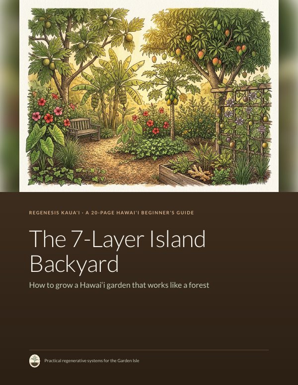
A 20-page guide to a Hawaiʻi garden that looks like a forest, free by email.